Welcome to OpenDataPhilly
OpenDataPhilly is a catalog of open data in the Philadelphia region. In addition to being the official open data repository for the City of Philadelphia, it includes data sets from many organizations in the region.
Browse all datasets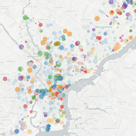
Browse by Category
 Arts / Culture / History
 Boundaries
 Budget / Finance
 Economy
 Education
 Elections / Politics
 Environment
 Food
Food
 Health / Human Services
 Parks / Recreation
 Planning / Zoning
 Public Safety
 Real Estate / Land Records
 Transportation